Update: this post follows our 24 October 2026 post on the same UAE slick; our 31 October 2026 post carries the latest official update.
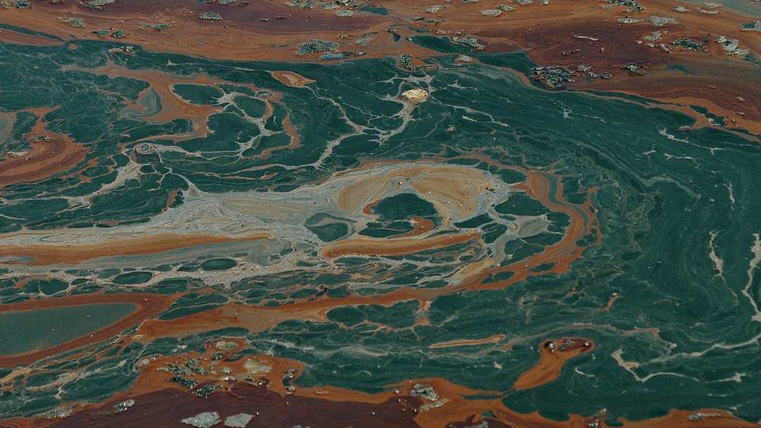
On Friday 23 October, the UAE's Ministry of Climate Change and Environment confirmed that its monitoring system had detected oil from a tanker affecting the beaches of Umm Al Quwain. All its beaches and coastal areas were closed pending assessment, and fishermen and sea users were told to stay out of the affected water. Sharjah closed Al Hamriyah Beach as a precaution the same day, and on 24 October Ras Al Khaimah closed all its beaches until further notice. Residents of Sharjah, Ajman and Umm Al Quwain had reported a fuel-like smell for days; the ministry said the odour posed no health risk, but warned people to keep away from any oil that washes ashore.
What a slick is, and why it travels so far, is explained in our 24 October post on this same spill; in short, oil floats as a thin film and wind and currents carry it. In the Gulf, the shore at stake holds dugongs, dolphins and sea turtles, plus reefs, mangroves and seagrass sheltering young fish. Once oil reaches that kind of coast, the damage is not one event; it lingers in sand, in mangrove mud and in the food chain.
What leaked, and from which ship, is still not officially settled, and the honest version of this story keeps that uncertainty visible. The UAE authorities have not named the vessel or confirmed the cause. Analysts have added detail: Martin Kelly of Orbital Risk Intelligence told Reuters the spill was coming from a tanker called the Gem No. 2, and shipping sources cited by Reuters said it was struck by a projectile on 9 October and caught fire. The National reports twenty-two Indian sailors were rescued. Even the slick's size is an estimate: analyses of 19 and 21 October images put it near 160 square kilometres, or near 190, reaching within six kilometres of the coast.
The Gulf coast is an unusually sensitive place for a spill. The UAE relies on desalination for most of its drinking water, and much of its economy, from ports to industry, sits on the same narrow coastal strip. Maritime intelligence firm Windward first identified a large vessel leaking about 25 kilometres off Umm Al Quwain, and its drift model warned the slick could reach desalination intakes and ports in Sharjah and Ajman by 22 to 23 October if the leak was not stopped. The same water that carries ships also supplies taps, and the same shoreline supports fishing, tourism and boat operators. A closure protects people, but it stops livelihoods for every day it lasts.
For an ordinary reader, the advice is short and unglamorous. Follow the official closures, even if your beach looks clean, because a slick moves. Do not touch oil that washes up, and keep children and pets away from it. Do not read too much into the smell either: Professor Prashant Kumar of the University of Surrey told The National an odour can travel tens of kilometres with the wind, so a strong smell does not show where the oil is or how bad it is. The ministry urged the public to rely on official channels, not rumours. In a coastal incident, the rumour is often the second spill.
One reason this spill was caught at all is that the sea is now watched from above. A European Space Agency radar image dated 21 October showed oil leaking 25 kilometres off Umm Al Quwain. How radar spots a slick is explained in our 24 October post. But a satellite image is not a cleanup: it shortens the delay before a response, it does not stop the oil, and its size estimates carry the uncertainty of the method and the day.
Nor is the UAE spill isolated. Earlier in October a tanker caught fire off Russia's Black Sea coast; Greenpeace's satellite analysis estimated a slick of about eight square kilometres on 7 October, growing to about 25 the next day, while Russian officials said pollution had not been confirmed. In August, Reuters reported, oil from a tanker that ran aground off Oman began reaching the mainland coast. Spills now come from vessels damaged in conflict as well as accidents, and responders struggle when the source ship itself is a casualty. The sea does not pause for investigations; it keeps moving the oil.
At AstolixGen, we follow this field because the tools that watch the sea, from satellites to sensors, are the tools we work with. That is the whole of our claim: we are not the responders here, and this article is no substitute for official updates. The caveat is Professor John Burt of NYU Abu Dhabi's, given to The National: containment before oil reaches a coastline is the ideal, because once it lands, remediation is slow, expensive, and full recovery can take years. Whether it becomes a footnote or a long shoreline problem now depends on containment work and unpublished assessments. Until then, watch official updates and respect the closures.
Sources: UAE Ministry of Climate Change and Environment statement, 23 October 2026; Reuters, 23 October 2026; The National, 23 October 2026; Conflict and Environment Observatory and PAX satellite estimates, 23-25 October 2026; Greenpeace Black Sea analysis, October 2026.