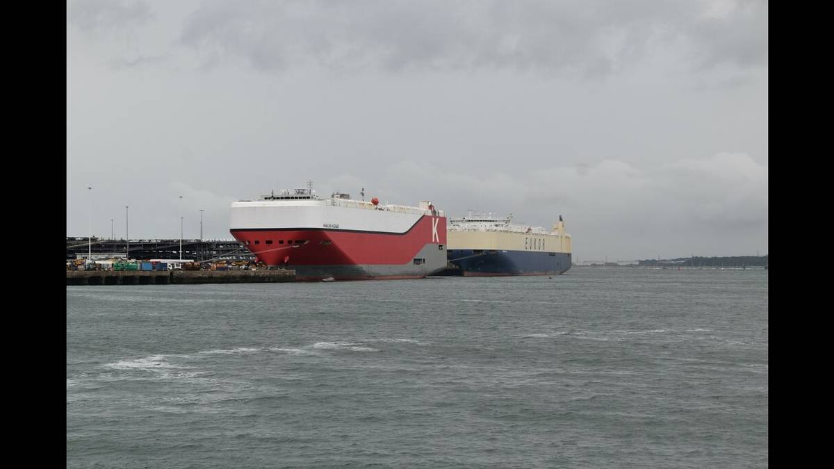
No single country, company or campaign is responsible for all maritime climate work. Some organisations measure changes in the ocean, others conduct research, and others develop rules for shipping. Coastal communities experience the effects directly. This Maritime Daily guide explains who does what and where a small public-awareness initiative fits into the wider effort.
1. The science behind the issue
The Intergovernmental Panel on Climate Change (IPCC), the United Nations body that assesses climate science, published its Special Report on the Ocean and Cryosphere in a Changing Climate in September 2019. Its Summary for Policymakers states that it is virtually certain that the global ocean has warmed unabated since 1970 and has absorbed more than 90% of the excess heat in the climate system.
The report estimates that global mean sea level rose by 0.16 metres between 1902 and 2015 (likely range: 0.12-0.21 metres). Between 2006 and 2015, the rate of rise was 3.6 millimetres per year (very likely range: 3.1-4.1 millimetres per year). The IPCC describes this rate as unprecedented over the previous century and approximately 2.5 times the rate recorded between 1901 and 1990, when the rise averaged 1.4 millimetres per year (very likely range: 0.8-2.0 millimetres per year).
The IPCC does not operate ships or satellites. Instead, it assesses published research to provide a shared scientific basis for understanding climate change and its impacts.
2. Research: Plymouth Marine Laboratory
Plymouth Marine Laboratory (PML) is an independent research charity that has worked in marine science for more than fifty years. Its stated mission is "to conduct impactful, interdisciplinary and collaborative marine research, delivering solutions to the ocean's great challenges, with both nature and people as co-beneficiaries." PML combines laboratory research, field studies, satellite observations, modelling, socio-economic analysis and advanced technologies.
PML reports that its research was the first to provide evidence that microplastics are ingested by zooplankton. Its scientists also provided written evidence to the UK Parliament's Environmental Audit Committee; the committee's report recommended action on microbeads, followed by the UK government's 2018 ban. PML also reports that its experts have attended every UN climate Conference of the Parties (COP) since 2009 and contributed to efforts to have the ocean recognised in the Paris Agreement process at COP21.
3. Measuring sea-level change: NOAA
The United States' National Oceanic and Atmospheric Administration (NOAA) monitors sea level using two complementary methods. Coastal tide gauges measure water levels relative to the land, while satellite altimeters measure the height of the ocean surface. NOAA describes the current global rate of sea-level rise as approximately one-eighth of an inch per year, or about 3.2 millimetres per year. Higher baseline water levels can allow storm surges to reach farther inland, and nuisance flooding has become three to nine times more frequent in many coastal locations than it was 50 years ago.
Global average sea-level rise does not describe conditions at every coast. Local sea level can rise faster or slower than the global average because of land subsidence or uplift, ocean currents, and the continuing rebound of land previously weighed down by Ice Age glaciers. Tide gauges and satellite altimeters therefore provide different, complementary information. Neither measurement alone can determine the future of an individual coastal community.
4. Satellite observations and ocean data
NASA's Sentinel-6 Michael Freilich satellite, launched in November 2020 through a United States-European partnership, measures sea-surface height and other ocean-surface features. NASA reports different data accuracy levels depending on processing: approximately 5.8 centimetres for near-real-time data, 3.5 centimetres about two days after collection, and 2.9 centimetres for research-quality datasets used in climate science and monitoring global mean sea-level rise. The satellite collects measurements over about 90% of the world's oceans.
The Copernicus Marine Service, the marine component of the European Union's Copernicus Programme, provides free and open ocean information for the global ocean and European regional seas. Its products cover physical ocean conditions (blue ocean), sea ice (white ocean) and biogeochemical conditions (green ocean). The European Commission funds the service, which is implemented by Mercator Ocean International.
These public datasets help governments, researchers and businesses work from shared observations and analyses. They do not eliminate uncertainty, and users must select data appropriate to their location, application and required level of accuracy.
5. International rules for shipping: the IMO
The International Maritime Organization (IMO) is the United Nations specialised agency responsible for developing international shipping regulations. Its Marine Environment Protection Committee (MEPC) addresses pollution from ships, including greenhouse-gas emissions. Regulatory terms matter: approval, adoption and entry into force are separate stages.
At its 83rd session (MEPC 83, 7-11 April 2025), the IMO's Marine Environment Protection Committee approved draft amendments to MARPOL Annex VI that would establish a new Chapter 5, known as the IMO Net-Zero Framework. The proposed framework combines a global marine-fuel greenhouse-gas-intensity standard with a greenhouse-gas emissions-pricing mechanism. Approval of the draft did not make the framework law.
The draft framework was designed to apply to oceangoing ships over 5,000 gross tonnage. The IMO says these ships account for 85% of carbon dioxide emissions from international shipping. The proposal was developed in line with the IMO's 2023 greenhouse-gas strategy, which aims for net-zero greenhouse-gas emissions from international shipping by or around 2050.
The framework was not adopted at the IMO's second extraordinary MEPC session in October 2025. The session was adjourned, and further negotiations continued. At MEPC 84, held from 27 April to 1 May 2026, Member States agreed to establish an intersessional Working Group to resolve concerns and drive broader convergence on a global measure ahead of MEPC 85, with two intersessional meetings scheduled (1 to 4 September and 23 to 27 November). The IMO's published schedule states that MEPC 85 is planned for 30 November-3 December 2026 and that the adjourned extraordinary session is scheduled to resume on 4 December 2026, subject to confirmation at MEPC 85. These are scheduled meetings, not evidence that the framework has been adopted.
Status as of 26 October 2026: the IMO Net-Zero Framework remains a proposal under negotiation and has not been adopted, according to the official IMO material reviewed for this article. It is therefore not yet a binding global framework, and the proposed mechanism is not an adopted global carbon-pricing system. The previously anticipated 2027 entry-into-force date should not be presented as settled.
6. Countries and coastal communities
International negotiations matter to developing countries and vulnerable states, including small island developing States and least developed countries. The draft IMO framework included a proposed fund to support the transition. Because the framework has not been adopted, its final provisions and legal status remain subject to negotiations.
The IPCC projects that extreme sea-level events that historically occurred about once per century will occur at least annually at most locations by 2100 under all assessed emissions scenarios. Many low-lying megacities and small islands are projected to experience such events at least annually by 2050.
For Pakistan's coast, the important point is that global averages cannot be treated as local forecasts. Karachi's exposure depends on local sea-level conditions, land movement, coastal geography, weather and other factors. The sources cited here do not establish a Karachi-specific sea-level projection, so this article does not claim one. Coastal communities, fishermen, port workers and local authorities should use relevant official forecasts, tide information and suitable ocean datasets for operational decisions.
7. The role of AstolixGen
AstolixGen is a Karachi-based technology initiative. It does not claim to operate a national ocean-monitoring system, act as a scientific agency or regulate shipping. Its role in this area is public awareness and education. Its resources include a marine-pollution awareness guide and a learning-book resource titled Maritime Climate Awareness: Safety, Precautions and Life at Sea.
The marine-pollution guide refers to the Tasman Spirit incident, a documented oil spill near Karachi Port. The Maltese-flagged tanker grounded near the entrance to Karachi Port in the early hours of 27 July 2003. It was carrying 67,800 tonnes of Iranian Light crude oil. ITOPF estimates that approximately 30,000 tonnes of oil were spilled, with much of the oil reaching Clifton Beach. The spill remains a significant example of the risks that maritime accidents can pose to coastal environments and communities.
This is the appropriate scale for AstolixGen's contribution: making reliable information easier to understand and helping readers find authoritative sources, alongside - not instead of - the work of researchers, monitoring agencies, coastal authorities and international regulators.
8. What remains uncertain
This article does not provide a Karachi-specific sea-level projection because the sources cited do not support one. The IMO Net-Zero Framework's final legal status also remains unresolved as of 26 October 2026. Its next scheduled regulatory discussions may change the position.
A wider question remains: how effectively does scientific research, ocean data and international rule-making reach the fishermen, port workers and coastal families who experience environmental change directly? Helping bridge that information gap is the purpose of this awareness series.
Verification note (1 November 2026): the IMO status in section 5 was re-checked against the official IMO meeting summaries cited below (MEPC/ES.2, October 2025, and MEPC 84, April–May 2026), and the Tasman Spirit facts in section 7 against the ITOPF case study cited below. The IMO Net-Zero Framework remains unadopted; MEPC 85 is scheduled for 30 November–3 December 2026, with the resumed extraordinary session scheduled for 4 December 2026, subject to confirmation at MEPC 85.